
Know the ice
before you build.
A high-resolution icing grid for any Canadian province or territory, at different heights, so you can assess a site before you commit to it. Canada is where we measure, and Canada is what CRYO Map covers, end to end.
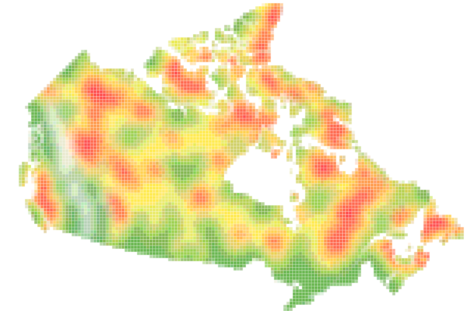
The map shown here is a deliberately coarse illustration. What you receive is a high-resolution grid.
Icing site assessment for Canadian wind and infrastructure projects.
Site assessment is what CRYO is built for. Where icing occurs, how hard, and how often decides whether a site is viable, and the answer changes over a few kilometres.
Compare candidate sites
Put two locations side by side on the same grid and the same metrics, and see which one carries the icing risk before you spend on a met mast.
Assess at the height that matters
The grid is resolved at different heights, so an assessment reflects the hub you are actually planning rather than conditions at ground level.
Evidence for the business case
A defensible, high-resolution icing basis for feasibility studies, financing conversations, and internal approvals.
Available for every province and territory.
Buy the regions you operate in. Each one arrives as its own dataset, on the same grid and the same metrics.
All 13 provinces and territories are available.
Tell us where you are building.
Send us the provinces or territories you are assessing and we will come back with scope and pricing.